BLACK LINE MAPS
Formerly known as 1-Page Maps
As of December 2020, Adobe Flash Player is no longer supported. This has impacted our MapMaker 1-Page Map webpage, which used Flash. We apologize for the inconvenience. However, we have re-imagined this experience for our users using MapMaker, National Geographic’s classroom mapping tool!
TIPS FOR USING THE BLACK LINE MAP TOOL
This tool works differently from the one you may be familiar with. To get started, follow these instructions.
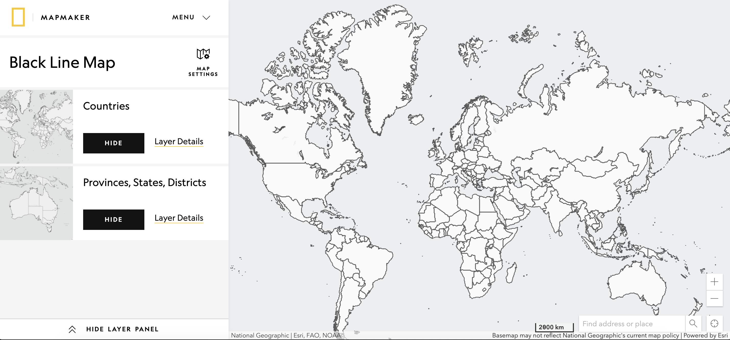
- Navigate to a map location using your mouse to drag the map and the zoom icons to set your map extent OR use the search bar in the lower right corner. Adjust the map until you have the view you desire. If you navigated using the search bar, and want to remove the black dot marking the search location, click the X icon in the search bar to remove the point
Note: This map limits the scale of the map to the state level. If you need a closer view, click on the Map Settings icon and select the imagery basemap.
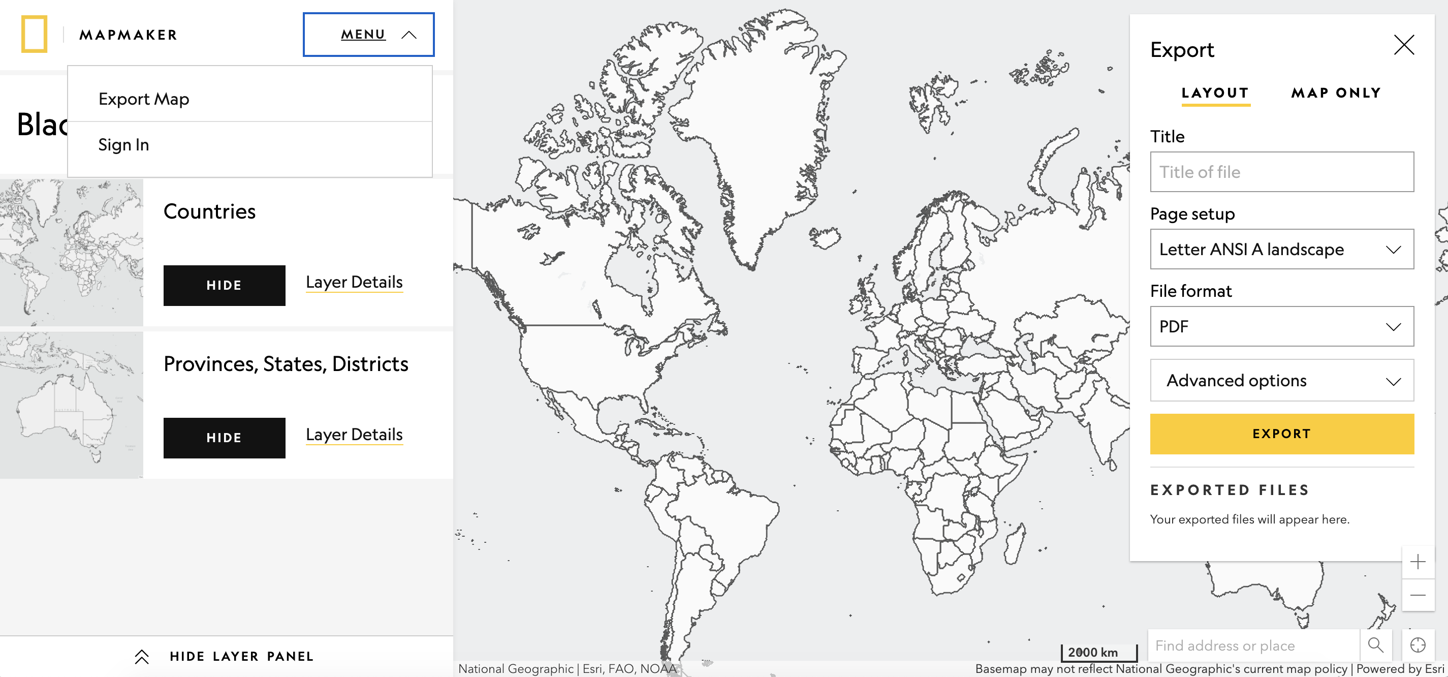
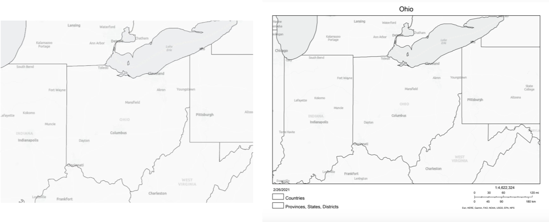
- You will notice the pop-up has two tabs, one labeled Layout, and the other Map Only. The Layout option will produce a file that includes a title, legend, and scale bar. The Map Only option will produce a file of the map without a title, legend, or scale bar.
Note: The map view of the export tool does not include the scale bar, legend, or map title built into the layout option.
- After you select either Layout or Map Only enter a title for your map export, select the size of the file and file format, and click Export. After a moment or two, this will generate a file below the export popup. Click on the popup and download your map.
MAPMAKER
National Geographic’s Online Classroom Map Tool
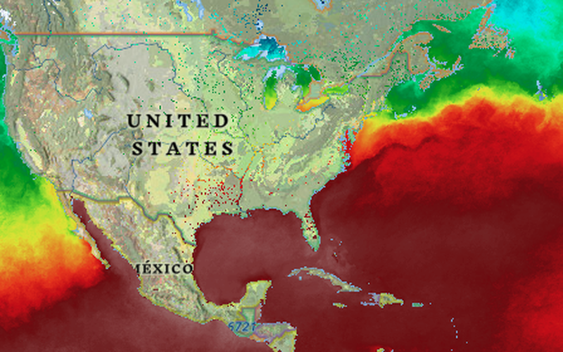
This black line map tool is built on MapMaker, National Geographic’s redesigned online map tool. MapMaker is the perfect tool to introduce geospatial thinking and the power of geographic information systems (GIS). MapMaker contains science and social studies map layers and has related classroom activities using up-to-date real world data. Explore the MapMaker collection page for the latest content.
