The Andes to the Atlantic
The Perpetual Planet Amazon Expedition is a multiyear series of solutions-centered science and storytelling expeditions spanning the entire Amazon River Basin, from the Andes to the Atlantic.
With a unique focus on the freshwater ecosystem and its flood pulse, multidisciplinary teams led by a cohort of Explorers are conducting groundbreaking transboundary research and collaborating with local scientists, communities and policy makers to develop innovative, community-driven scalable solutions to ensure the protection, restoration, revival and survival of this vital ecosystem.
National Geographic Explorers
team members and local collaborators
countries
kilometers traveled within the Amazon River Basin
There Is No Amazon Without Water
From its “flying rivers” to its flowing streams and flooded forests, water is the life-blood that sustains the Amazon ecosystem and the 40 million people who depend on it. The Perpetual Planet Amazon Expedition follows the flowpath of the Amazon waterways, with in-depth Explorer-led scientific research taking place across the entire basin, six countries and 4,000 miles.
Nevado Ausangate
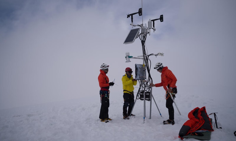
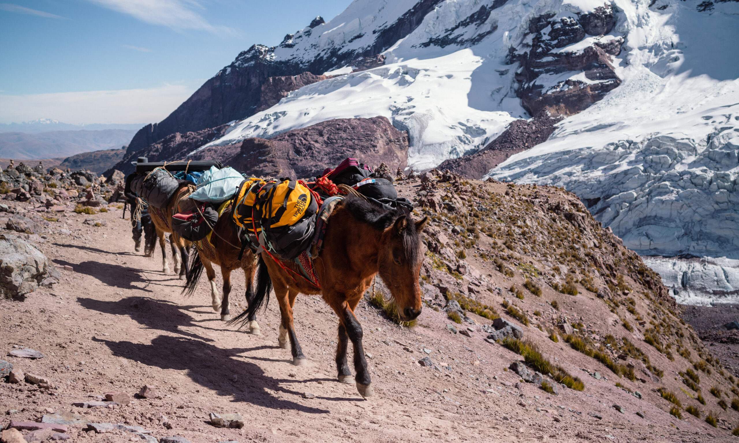
In July 2022, Explorers Baker Perry and Tom Matthews led an expedition to the summit of Nevado Ausangate in the Peruvian Andes to better understand the movement of water from this critical water tower to Andean and downstream communities and ecosystems. Their results are filling data gaps on how climate and environmental change can affect the water cycle of the Amazon River Basin.
Impact
- Installed the highest weather station in the tropical Andes near the summit of Nevado Ausangate
- Data from the weather station indicates that Nevado Ausangate is approaching the world record for highest average solar radiation throughout the year
- Data indicates that glacial ice on the mountain is extremely sensitive to changing reflectivity, knowledge that is helpful to local communities in adapting to climate change
River Flow
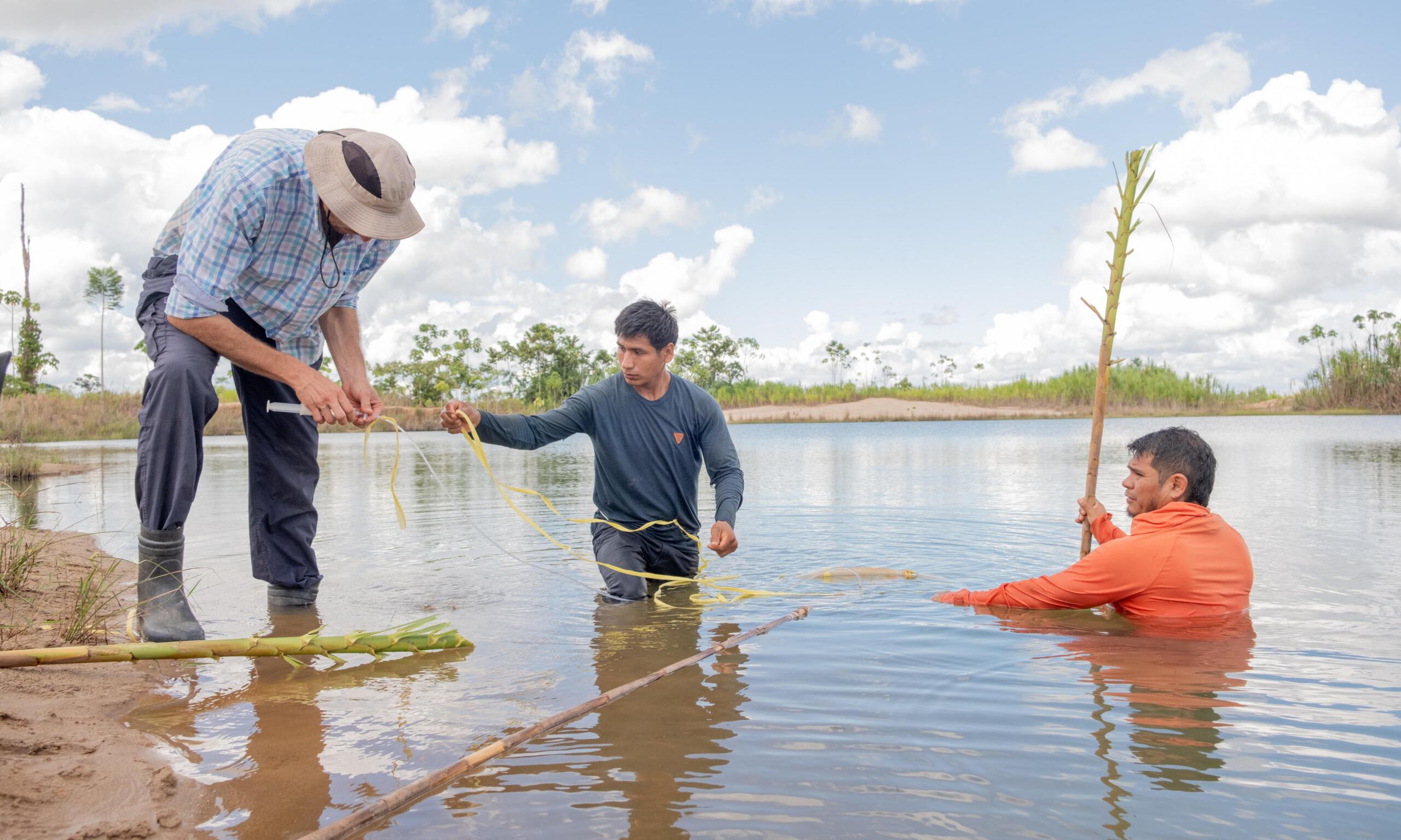
Explorers Hinsby Cadillo-Quiroz, Jennifer Angel-Amaya and Josh West are working to understand the long-term environmental effects of artisanal mining in Amazonia, devise innovative, scalable solutions to address mercury pollution and ecosystem degradation, and collaborate with local communities to inform strategies for and to inform better stewardship of these degraded landscapes.
Impact
- Advancing innovative nature-based solutions to restore forest life and functionality
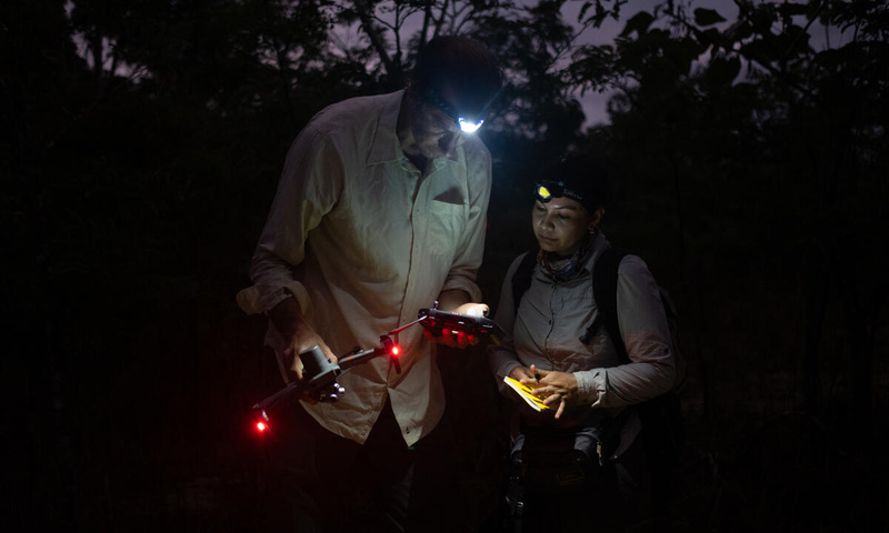
- Developing portable mercury testing methods to map the distribution of mercury and to allow local populations to monitor their environment
- Providing a holistic understanding of mining landscapes in the Madre de Dios region
Andean Bears
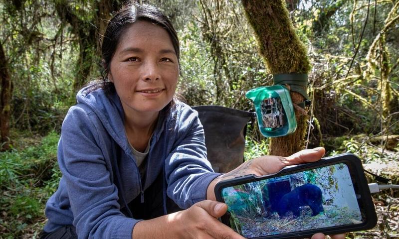
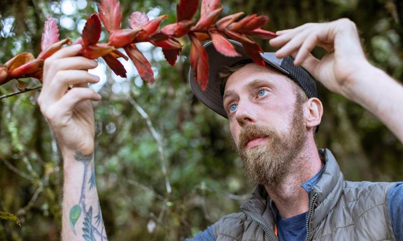
Explorers Ruthmery Pillco-Huarcaya and Andrew Whitworth are conducting the first-ever holistic study of Andean bears along the complete altitudinal range of their habitat in the Peruvian Andes. This effort reveals groundbreaking insights into their diet, behaviors, habitat, migratory patterns, ecological importance and vital role in seed dispersal in the cloud forest — key to the ecosystem’s climate change adaptation — and the conservation measures necessary to protect this iconic endemic species.
Impact
- First time National Geographic Crittercams™ were used on Andean bears
- First study to document the habitat of the Andean bear in a single transect across the different elevations
- Leveraging novel eDNA method to determine the presence and population dynamics of bears
- Forming the basis of a regional conservation plan for the Andean bear and its key habitats
- Providing new insight into the impact of climate change on cloud forest species
- Engaging local stakeholders in the conservation and restoration of Andean bear populations and their cloud forest homes
River Dolphins
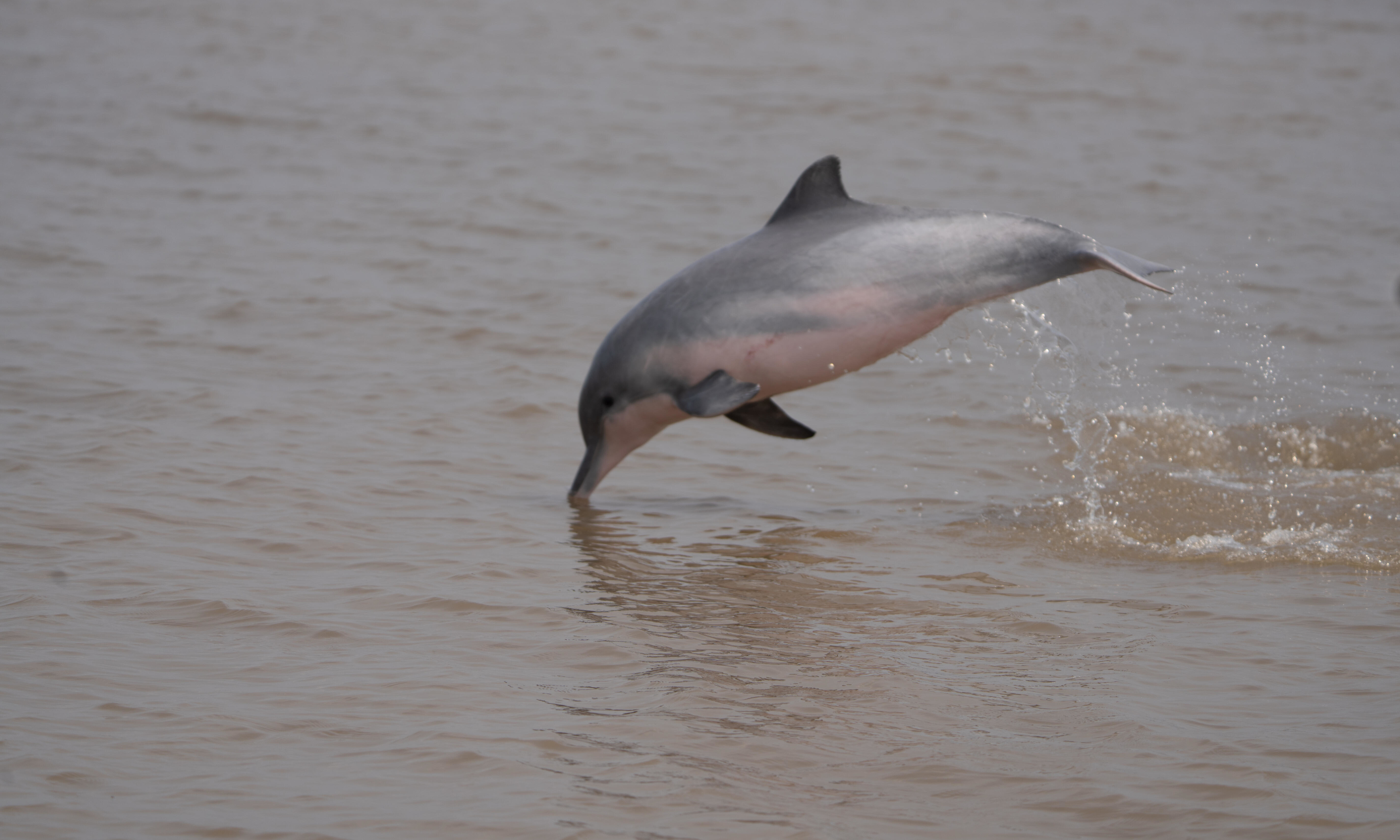
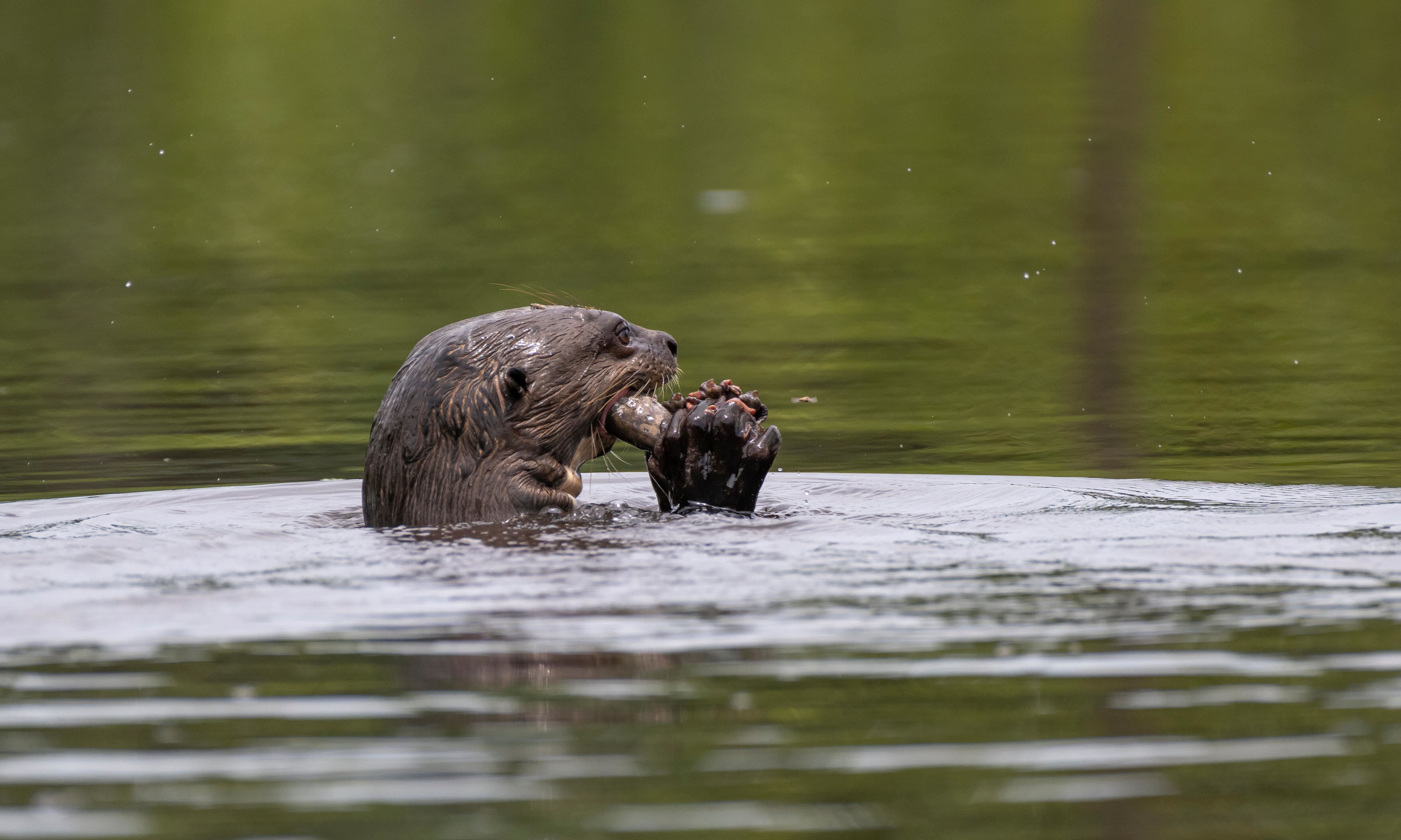
Explorers Fernando Trujillo, María Jimena Valderrama and Mariana Paschoalini Frias are assessing the health of the Amazon River Basin by studying its iconic river dolphins. River dolphins’ well-being serves as an indicator of the health of the waterways, other wildlife and human populations in their range.
River Guardians
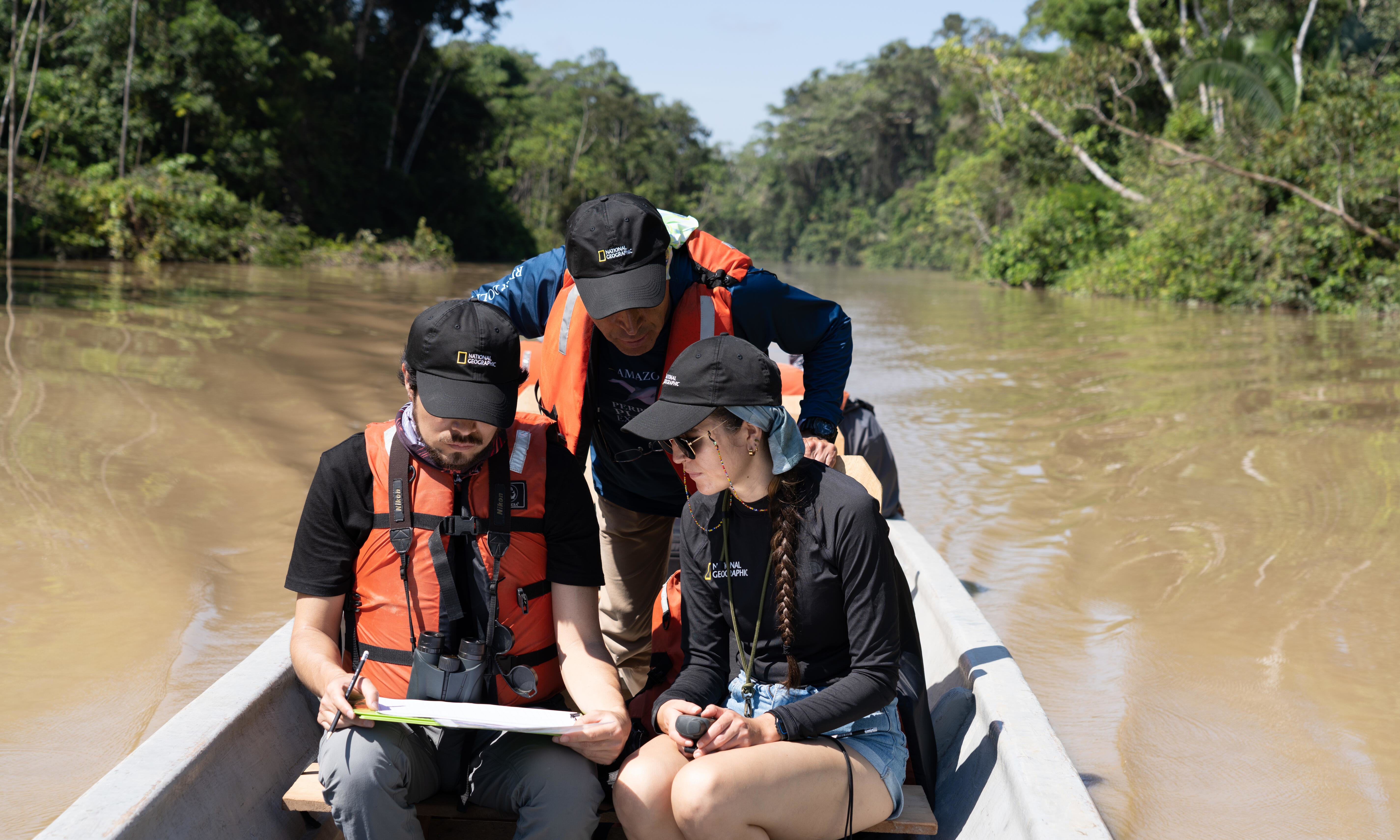
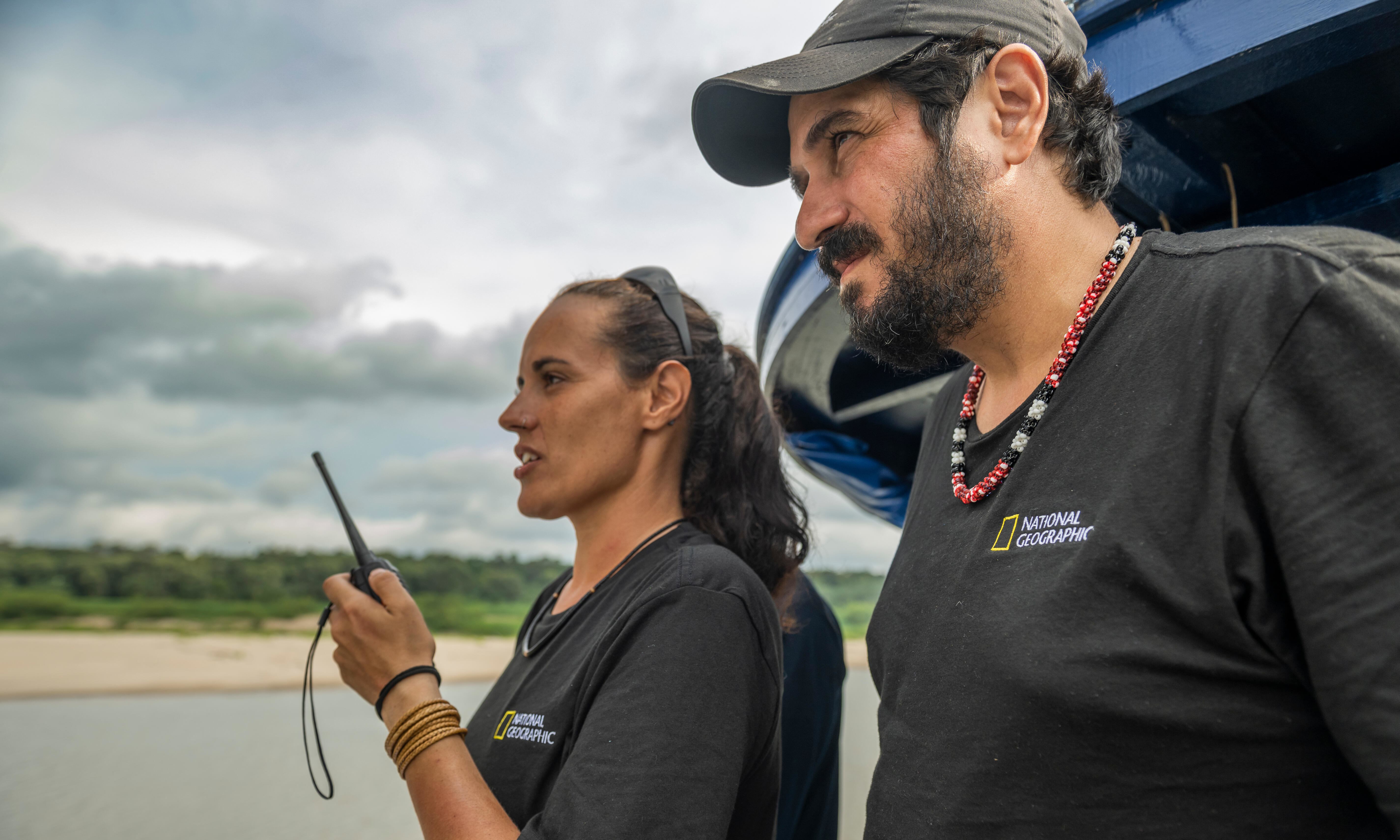
Explorers João Campos-Silva and Andressa Scabin are partnering with local communities throughout the Juruá River valley to strengthen a community conservation model for aquatic megafauna. Building on the success of community-based conservation in the region, the team is conducting research, including satellite tagging and population assessments, to compile habitat range data and create education toolkits for community outreach.
Impact
- Groundbreaking satellite tracking data on black caiman, giant river turtles, pink river dolphins, and for the first time ever, arapaima, to identify home ranges and implement conservation measures.
- Expansion of fisheries agreements with a network of 74 local communities resulting in over 131% population recovery of arapaima over the last three years.
- Trained 100 local teachers to help inspire a new generation of conservationists.
Flooded Forests
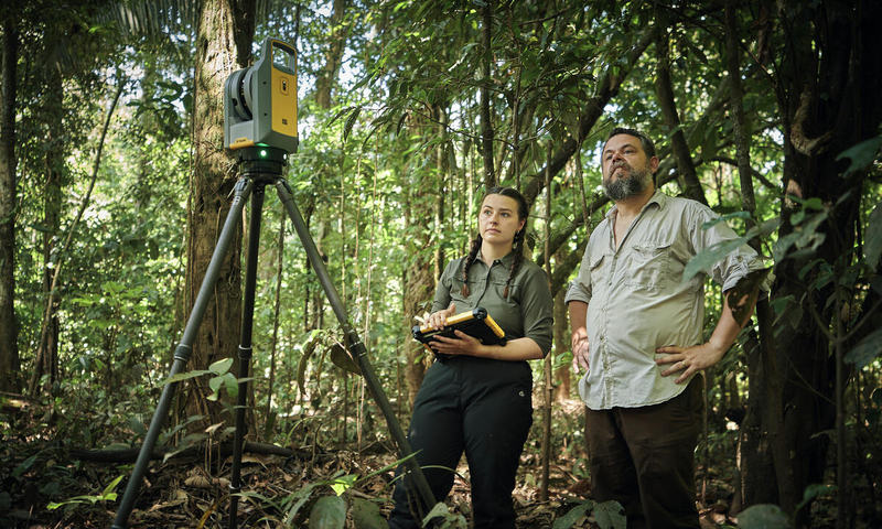
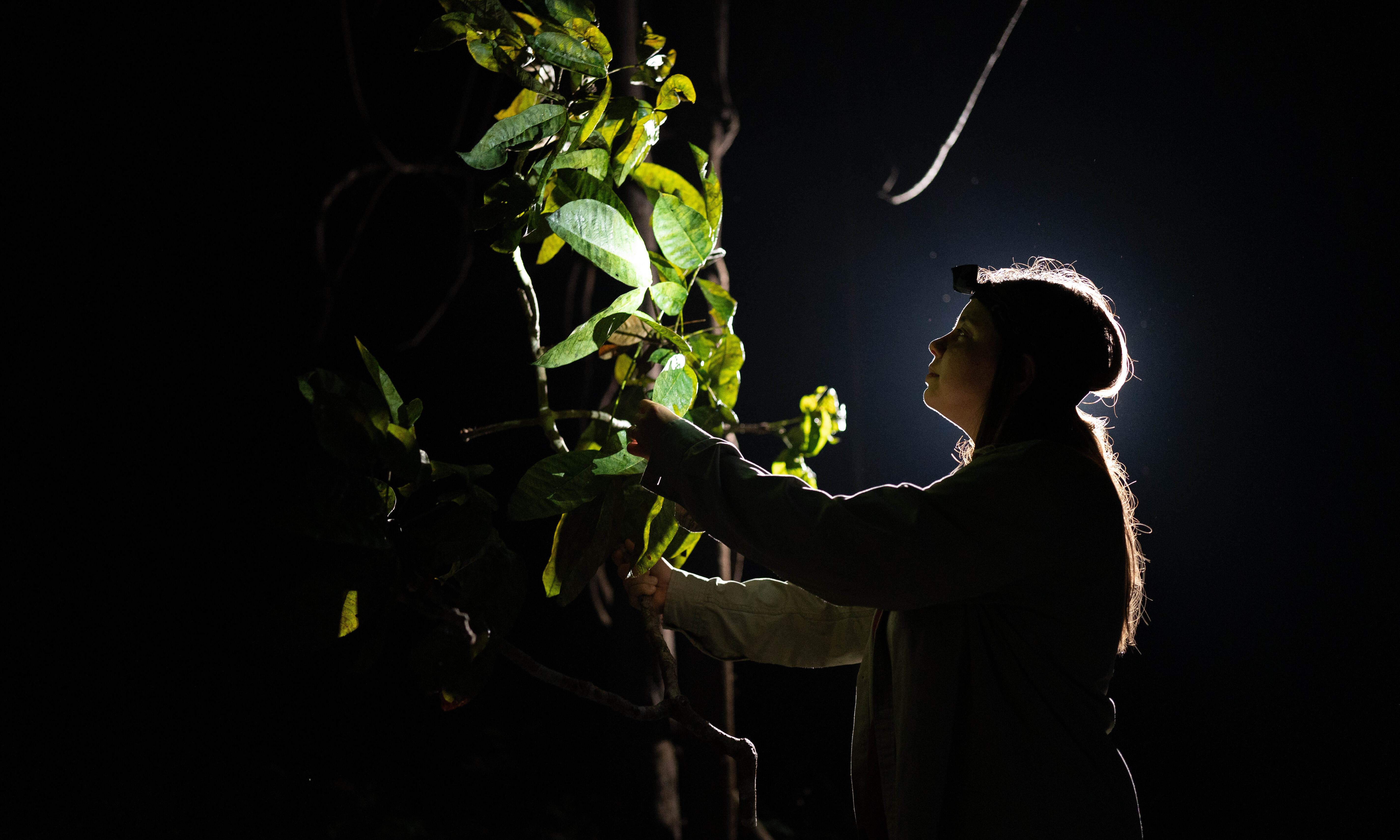
Explorers Thiago Silva and Julia Tavares are leading a groundbreaking study to better understand the structure, function and diversity of the Amazonian flooded forests and their response to climate and environmental changes. Their results will allow for predictions of how this understudied ecosystem will respond to the ongoing hydrological changes caused by climate change and hydropower damming.
Impact
- First-ever LiDAR scans of the Amazon’s flooded forests, providing an unprecedented view of the structure of the ecosystem
- Conducting the largest functional trait study in a wetland forest in the Amazon River Basin to reveal how the flooded forests will respond to extreme climate events
- Developing a live, high-resolution map tracking wetlands and other land cover types to show how they are changing in response to human intervention
Mangroves
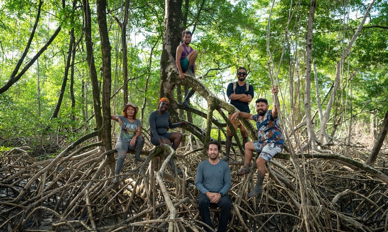
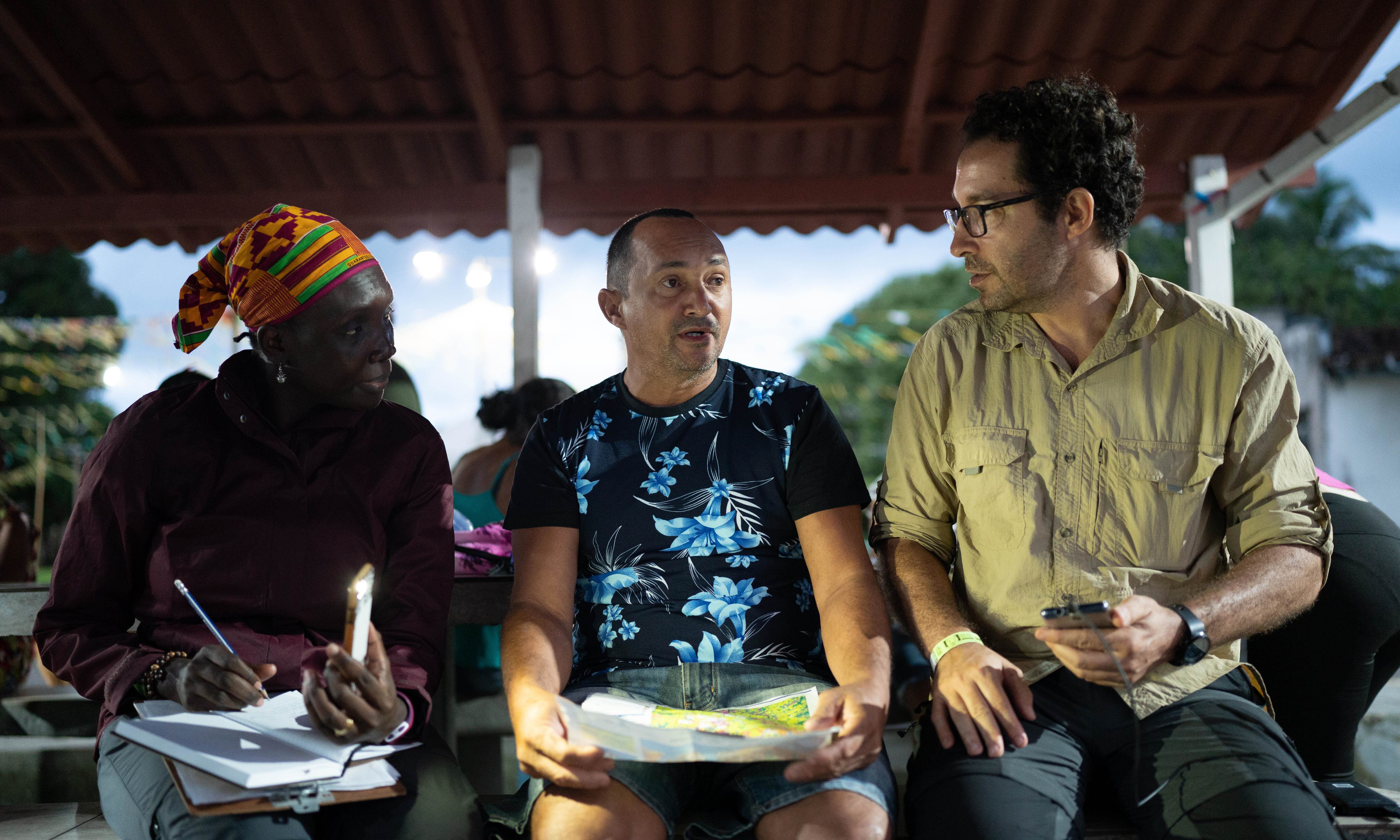
Explorers Angelo Bernardino and Margaret Awuor Owuor are exploring the unique mangrove ecosystem at the mouth of the Amazon River to assess ecosystem carbon stocks, identify changes in climate conditions in the Amazon River Basin and determine the influence of the Amazon River plume across coastal habitats. They are documenting for the first time ever the multiple ecosystem services that Brazilian mangroves provide, such as food, cultural activities, income, education, climate regulation and flood control.
Impact
- Provided a first-of-its-kind evaluation of mangrove ecosystem services and their cultural and economic value to local people of the Amazon Delta
- Indicated a novel freshwater mangrove environment in coastal Brazil, increasing the country’s mangroves by 20%
- Developed 3D scans of novel freshwater mangrove forest
A New Look at the Amazon
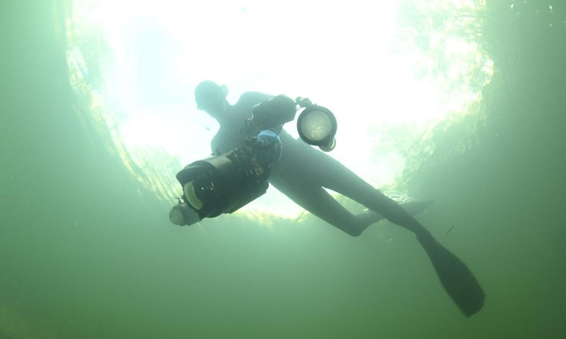
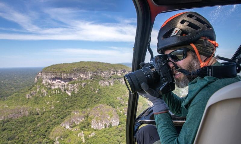
To visually capture this groundbreaking scientific research, National Geographic Explorer and photographer Thomas P. Peschak spent the better part of two years immersed in the Amazon River Basin with the Explorers and local communities to create a first-of-its-kind comprehensive visual documentation of the aquatic and wetland habitats of the Amazon rainforest. His storytelling spotlights the threats and showcases the solutions, science and communities working to secure the future of the Amazon.
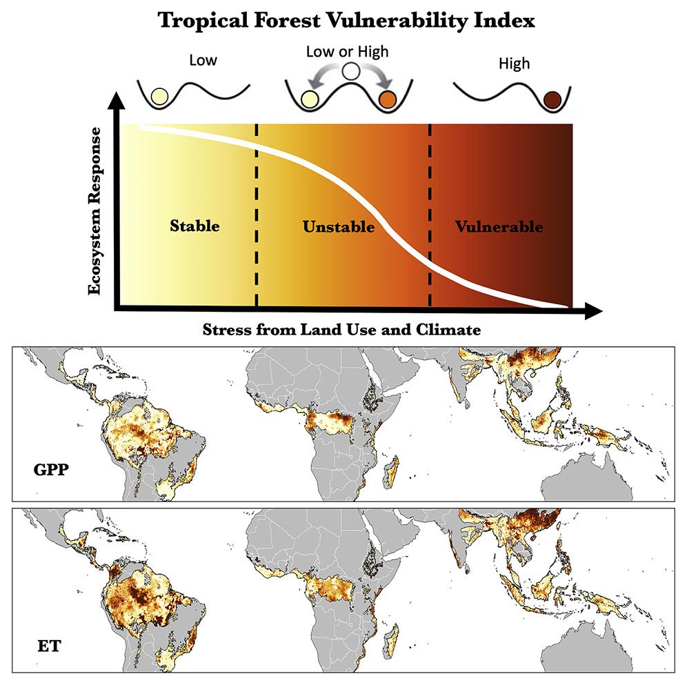
Tropical Rainforest Vulnerability Index
The Perpetual Planet Amazon Expedition builds on the Tropical Forest Vulnerability Index created by the National Geographic Society and Rolex. The Index shows how each rainforest reacts differently to various stressors like heat, drought, fires and pollution, thus requiring a diversity of solutions.