SOURCE TO SAND MEGATRANSECT
APRIL - SEPTEMBER 2015
The Route
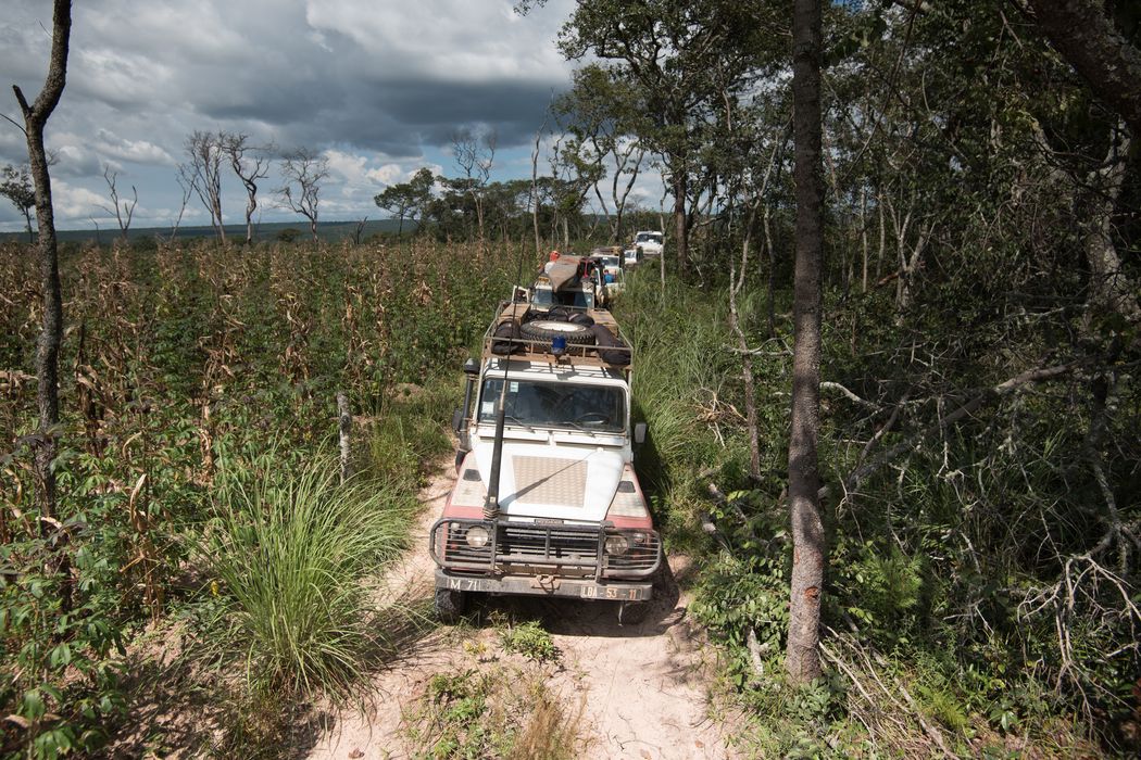
This was the big one. At nearly six months and 2,414 km (1,500 miles), this expedition lasted longer and covered more mileage than any of the others.
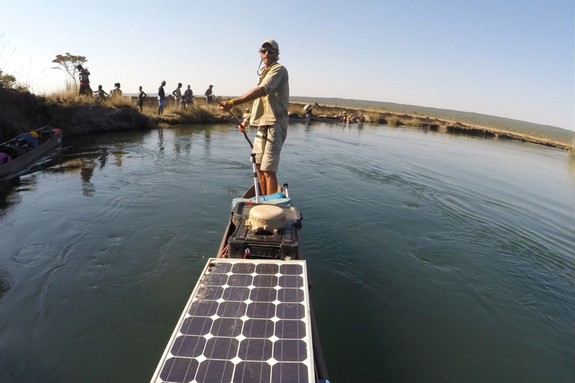
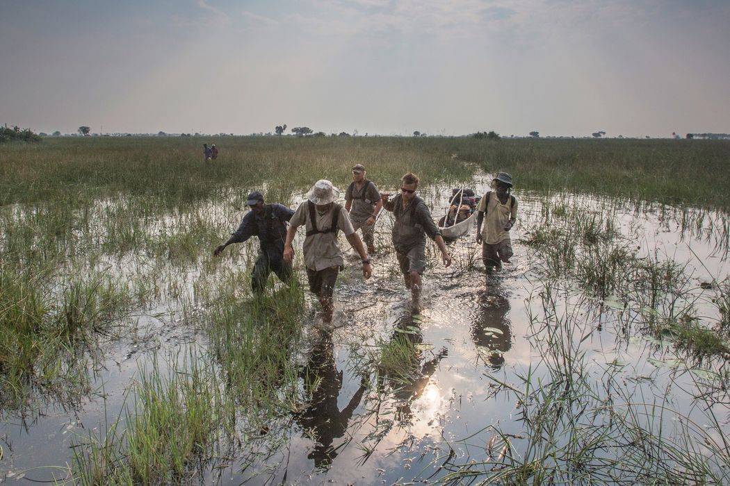
The team began in the highlands of southeastern Angola, exploring the landscape that feeds the sleepy headwaters of the Cuito River, one of the two main feeder rivers for the Okavango Delta. Then they got in their mokoro canoes and poled or portaged south down the very gradually descending marshy landscape, taking advantage of the higher water levels in the dry season, after the rains had fallen.
Once the Cuito meets the Cubango River and the land levels off, the river is wider and fuller as it snakes back and forth for hundreds of miles. In the delta itself, countless feeder streams flow in from other directions, weaving together and apart in a tangled braid till the water has literally run its course, and the dry land of the Kalahari lies ahead.
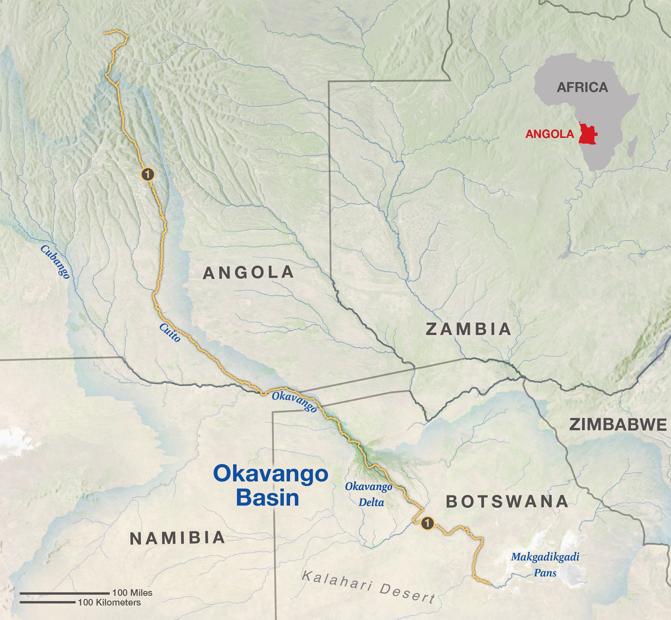
MAP BY MARTIN GAMACHE, ART OF THE MAPPABLE
The Mission
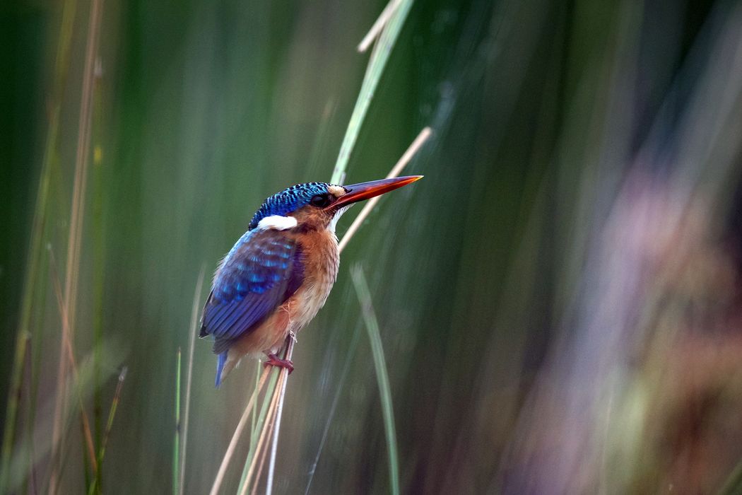
Experts in plants, reptiles, amphibians, fish, and birds all joined the trek across the landscape.
The team made in-the-field identifications and collected specimens for later DNA analysis. They set up camera traps to be their eyes on the ground after they left. Special cameras recorded 360-degree images and high-tech sensors sampled water quality at 119 sites along the river. Old-fashioned interviews—made possible by their expert in local languages, Kgalalelo Mpetsang—helped gather information about the socioeconomic issues facing nearby villagers.
The journey concluded with the team embarking on Steve Boyes’s sixth annual crossing of the Okavango Delta. This long-term project was designed to monitor wetland birds as indicators of the overall health of the ecosystem. It was a desire to protect those birds and delta wetlands that led to the creation of the Okavango Wilderness Project and its mission to explore and gain protection for the system’s headwaters in the Angolan highlands.
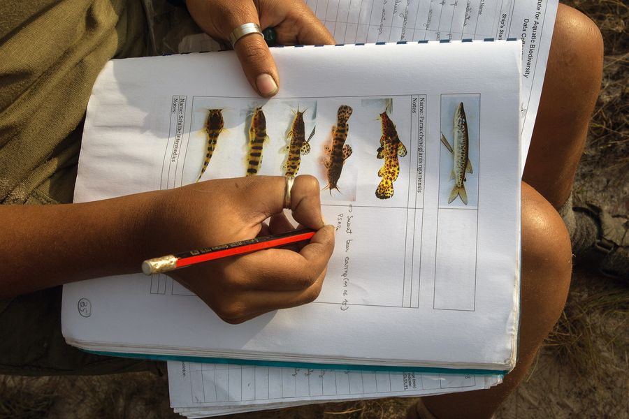
PHOTOGRAPH BY CORY RICHARDS
The Highlights
Signs or sightings of lions, leopards, hyenas, and elephants in the northern range of the Cuito River confirmed the animals’ presence in this remote and little studied wilderness. The team also identified new species of plants and fish, though the most startling encounter was with a species well-known and respected by the team.
Exploring new stretches on the Cuito, Steve misread a movement in the reeds and suddenly found himself staring at the whiskers of a hippo as it thrust its tusks into the hull and tossed the canoe and its occupants into the air. After a frantic swim, Steve and team member Giles Trevethick scrambled up the high bank of the river to safety, reminded of the stakes when exploring truly wild territory.
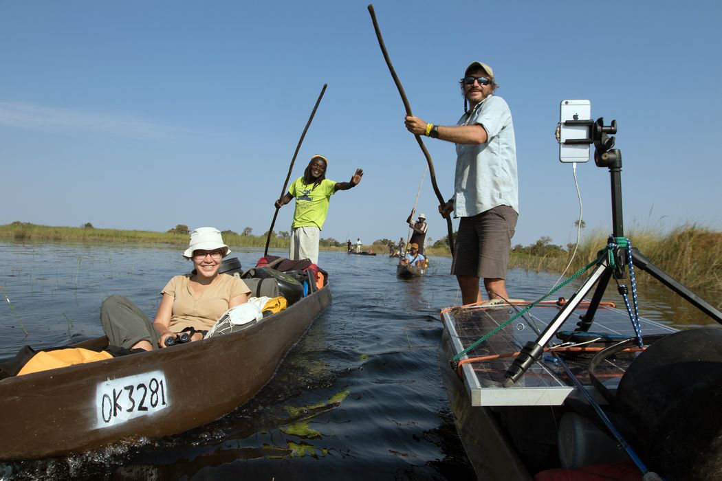
With a camera in every pocket and solar cells for recharging, the team shared their animal sightings, stunning sunsets, and thoughts and reflections in real time throughout the expedition. See it all in their Instagram feed.
OTHER EXPEDITIONS
In late 2016, the team completed the first biological survey of the Cuando and Kembo river sources in eastern Angola.
This 2015 expedition, at nearly six months and 2,414 km (1,500 miles), lasted longer and covered more mileage than any of the others.
The team was able to conduct research in this once war-torn region with the help of an international landmine-removal organization.
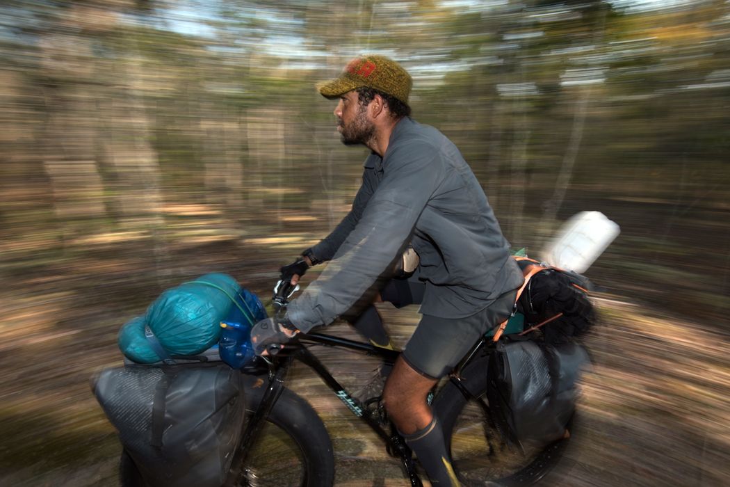
On hardy fatbikes, the team checked their camera traps, interviewed villagers, and continued to document biodiversity in Eastern Angola.
Expedition leader Steve Boyes conducts annual surveys of birds across the delta, building a data record and assessing the landscape’s health.
PHOTOGRAPHS BY JAMES KYDD (TEAM); GÖTZ NEEF (SOLAR PANEL/BOAT).
